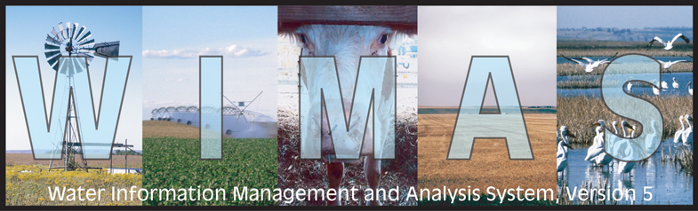
WIMAS is a joint project between the Kansas Geological Survey and the Kansas Department of Agriculture, Division of Water Resources
The Kansas Department of Agriculture, Division of Water Resources (DWR) and Kansas Geological Survey (KGS) exercises great care in the creation of its Water Information Management and Analysis System (WIMAS) program. However, the DWR or KGS offers no warranty or guarantee of the accuracy or completeness of the WIMAS program and the data contained therein, the DWR or KGS assumes no liability for errors in, interpretation of, or use of these data.
Water rights are dynamic and often complex entities. The water rights data used in WIMAS represents the water rights files as of 04/14/2024 and should not be viewed as current. A new water rights data set for the WIMAS program is generated weekly.
Information provided in WIMAS can not be used to determine whether a water right has been lawfully used in accordance with the terms, conditions and limitations specified in the vested right, certificate or permit. To obtain current standing information on a particular water right file, please contact the DWR.
The term "status", as used in the WIMAS program, denotes one of the following phases of a water right's development: (1) The application is pending initial review by the DWR; (2) A permit has been issued; (3) The DWR has received a notice and proof of completion of the diversion works; (4) The time to perfect the water right has expired; (5) A Certificate of Appropriation has been issued; or (6) The water right has been dismissed for some reason.
Information contained in the WIMAS program is a public record; however, by accessing the WIMAS program, associated data, and any products generated by WIMAS (i.e. maps, graphs, tables, and reports) the user agrees that they will not use them for selling, or offering the sale, of any property or services in violation of K.S.A 45-220(c)(2).
For more information contact the DWR via the Internet or at (785) 564-6640.
By clicking the "I ACCEPT" button, you fully accept the responsibilties and use limitations listed above.
|
This material is based upon work supported by the State Water Plan Fund of the Kansas Water Office, Kansas GIS Policy Board under contract 2005-2108, and in part by the U.S. Geological Survey under Cooperative Agreement No. G16AS00062 and G17AS00032. The views and conclusions contained in this document are those of the authors and should not be interpreted as representing the opinions or policies of the State of Kansas or U.S. Geological Survey. Mention of trade names or commercial products does not constitute their endorsement by the State of Kansas or U.S. Geological Survey.
|
 |