 |
 |
 |
 |
WIZARD Water Well Listing |

|
|||
|
Detailed Well Page |
||||||||
|
|||||||||||||
| USGS ID: | 370421102015501 | KGS Local Well ID: | 34S 43W 19DBD 01 | |||
| County: | Morton | PLSS Description: | 34S 43W 19 SENWSE | |||
| HUC 8 Code: | 11040002 | GMD: | Southwest Kansas GMD #3 | |||
| Longitude: | -102.032043 | Lat/Long Source: | GPS (within 50 feet) | |||
| Latitude: | 37.072615 | Lat/Long Accuracy: | 5 seconds | |||
| Surface Elevation (ft): | 3488 | Depth of Well (ft): | 42 | |||
| Geological Unit Codes: | QA | USGS Map Name: | Midway SE | |||
| Use of Site: | Observation | Use of Water: | Unused | |||
| WWC5 Links: |
520018 |
WIMAS Link: | None | |||
| Google Location Map |
||||||
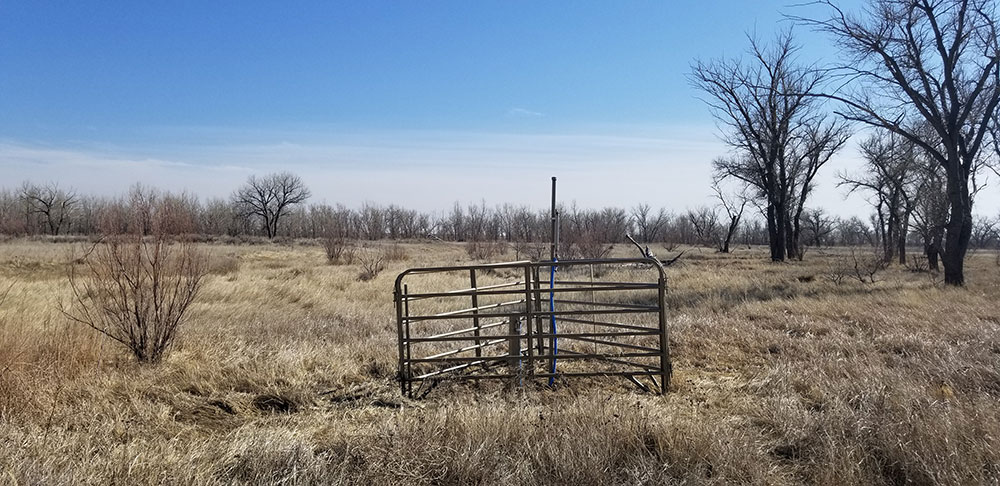
| Cimarron Grasslands Index Well. Enter from north. |
 |
