 |
 |
 |
 |
WIZARD Water Well Listing |

|
|||
|
Detailed Well Page |
||||||||
|
|||||||||||||
| USGS ID: | 373925100395301 | KGS Local Well ID: | 27S 31W 36BDC 01 | |||
| County: | Haskell | PLSS Description: | 27S 31W 36 SWSENW | |||
| HUC 8 Code: | 11030003 | GMD: | Southwest Kansas GMD #3 | |||
| Longitude: | -100.6648 | Lat/Long Source: | GPS (within 50 feet) | |||
| Latitude: | 37.65701 | Lat/Long Accuracy: | 5 seconds | |||
| Surface Elevation (ft): | 2837.85 | Depth of Well (ft): | 432 | |||
| Geological Unit Codes: | TO | USGS Map Name: | Copeland NW | |||
| Use of Site: | Observation | Use of Water: | Unused | |||
| WWC5 Links: |
406332 |
WIMAS Link: | None | |||
| Google Location Map |
||||||
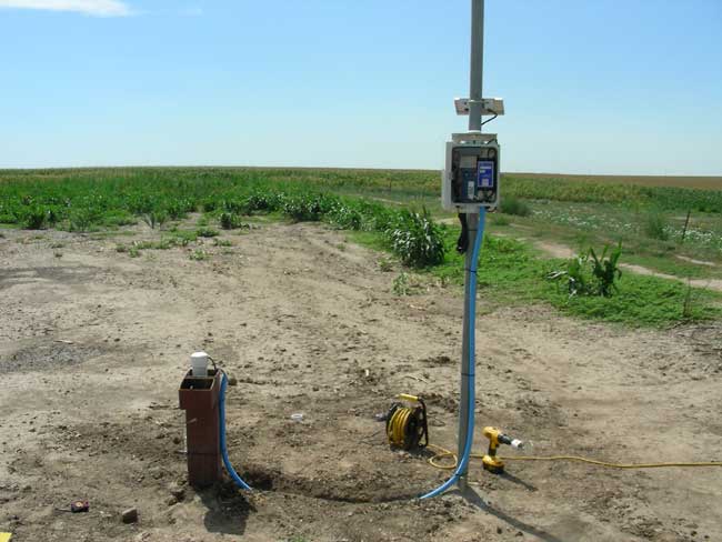
| KGS INDEX/CALIBRATION WELL. NEED KEY. ENTER FROM WEST. BE CAREFUL NOT TO PINCH CABLES. |
 |
