 |
 |
 |
 |
WIZARD Water Well Listing |

|
|||
|
Detailed Well Page |
||||||||
|
|||||||||||||
| USGS ID: | 380201101030101 | KGS Local Well ID: | 23S 34W 21DDC 01 | |||
| County: | Finney | PLSS Description: | 23S 34W 21 SWSESE | |||
| HUC 8 Code: | 11030001 | GMD: | Southwest Kansas GMD #3 | |||
| Longitude: | -101.052174 | Lat/Long Source: | GPS (within 50 feet) | |||
| Latitude: | 38.032793 | Lat/Long Accuracy: | 5 seconds | |||
| Surface Elevation (ft): | 2961 | Depth of Well (ft): | 300 | |||
| Geological Unit Codes: | QU TO | USGS Map Name: | WOLF | |||
| Use of Site: | Observation | Use of Water: | Unused | |||
| WWC5 Links: | None | WIMAS Link: | None | |||
| Google Location Map |
||||||
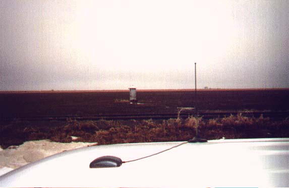
| gagehouse shelter. need dwr/kgs key. |
 |
