 |
 |
 |
 |
WIZARD Water Well Listing |

|
|||
|
Detailed Well Page |
||||||||
|
|||||||||||||
| USGS ID: | 383132100543101 | KGS Local Well ID: | 09S 33W 33BBB 01 | |||
| County: | Thomas | PLSS Description: | 9S 33W 33 NWNWNW | |||
| HUC 8 Code: | 10260009 | GMD: | Northwest Kansas GMD #4 | |||
| Longitude: | -101.0185 | Lat/Long Source: | GPS (within 50 feet) | |||
| Latitude: | 39.23452 | Lat/Long Accuracy: | 5 seconds | |||
| Surface Elevation (ft): | 3187.44 | Depth of Well (ft): | 286 | |||
| Geological Unit Codes: | TO | USGS Map Name: | Winona NE | |||
| Use of Site: | Observation | Use of Water: | Unused | |||
| WWC5 Links: |
403943 |
WIMAS Link: | None | |||
| Google Location Map |
||||||
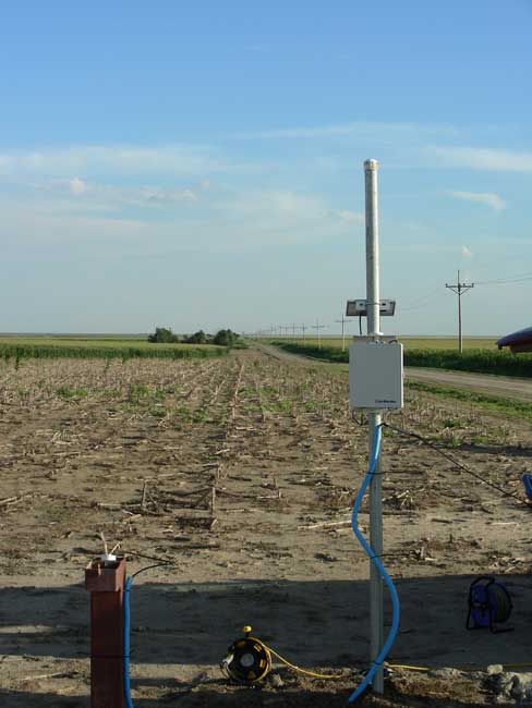
| KGS INDEX/CALIBRATION WELL. NEED KEY. EXTREME NW CORNER OF SECTION. BE CAREFUL NOT TO PINCH CABLES. |
 |
