 |
 |
 |
 |
WIZARD Water Well Listing |

|
|||
|
Detailed Well Page |
||||||||
|
|||||||||||||
| USGS ID: | 383139199364401 | KGS Local Well ID: | 18S 30W 02BBB 01 | |||
| County: | Lane | PLSS Description: | 18S 30W 2 NWNWNW | |||
| HUC 8 Code: | 11030007 | GMD: | Western Kansas GMD #1 | |||
| Longitude: | -100.612931 | Lat/Long Source: | GPS (within 50 feet) | |||
| Latitude: | 38.525607 | Lat/Long Accuracy: | 1 seconds | |||
| Surface Elevation (ft): | 2851 | Depth of Well (ft): | 140 | |||
| Geological Unit Codes: | TO | USGS Map Name: | Healy | |||
| Use of Site: | Observation | Use of Water: | Unused | |||
| WWC5 Links: |
500306 |
WIMAS Link: | None | |||
| Google Location Map |
||||||
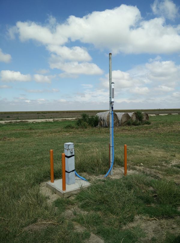
| LANE COUNTY KGS INDEX/CALIBRATION WELL. NEED KEY. BE CAREFUL NOT TO PINCH CABLES. |
 |
