 |
 |
 |
 |
WIZARD Water Well Listing |

|
|||
|
Detailed Well Page |
||||||||
|
|||||||||||||
| USGS ID: | 383926101314701 | KGS Local Well ID: | 16S 38W 16CCC 01 | |||
| County: | Wichita | PLSS Description: | 16S 38W 16 SWSWSW | |||
| HUC 8 Code: | 10260004 | GMD: | Western Kansas GMD #1 | |||
| Longitude: | -101.530031 | Lat/Long Source: | GPS (within 50 feet) | |||
| Latitude: | 38.65682 | Lat/Long Accuracy: | 1 seconds | |||
| Surface Elevation (ft): | 3446 | Depth of Well (ft): | 200 | |||
| Geological Unit Codes: | TO | USGS Map Name: | West Bethany Church | |||
| Use of Site: | Observation | Use of Water: | Unused | |||
| WWC5 Links: |
500268 |
WIMAS Link: | None | |||
| Google Location Map |
||||||
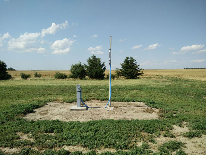
| ENTER FROM WEST. WICHITA COUNTY KGS INDEX/CALIBRATION WELL. NEED KEY. BE CAREFUL NOT TO PINCH CABLES. |
 |
