 |
 |
 |
 |
WIZARD Water Well Listing |

|
|||
|
Detailed Well Page |
||||||||
|
|||||||||||||
| USGS ID: | 391053096260901 | KGS Local Well ID: | 10S 09E 17BDD 01 | |||
| County: | Riley | PLSS Description: | 10S 9E 17 SESENW | |||
| HUC 8 Code: | 10270102 | GMD: | None | |||
| Longitude: | -96.435834 | Lat/Long Source: | GIS | |||
| Latitude: | 39.181389 | Lat/Long Accuracy: | 5 seconds | |||
| Surface Elevation (ft): | 995 | Depth of Well (ft): | 37 | |||
| Geological Unit Codes: | QA | USGS Map Name: | Saint George | |||
| Use of Site: | Observation | Use of Water: | Unused | |||
| WWC5 Links: |
515527 |
WIMAS Link: | None | |||
| Google Location Map |
||||||
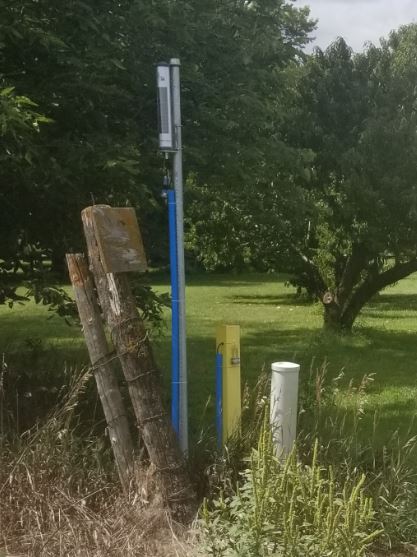
| Kansas River Alluvial Aquifer Well, KAW-RL02. |
 |
