 |
 |
 |
 |
WIZARD Water Well Listing |

|
|||
|
Detailed Well Page |
||||||||
|
|||||||||||||
| USGS ID: | 391244101501901 | KGS Local Well ID: | 10S 41W 01DAA 01 | |||
| County: | Sherman | PLSS Description: | 10S 41W 1 NENENESE | |||
| HUC 8 Code: | 10260002 | GMD: | Northwest Kansas GMD #4 | |||
| Longitude: | -101.838532 | Lat/Long Source: | GPS | |||
| Latitude: | 39.212324 | Lat/Long Accuracy: | 5 seconds | |||
| Surface Elevation (ft): | 3793 | Depth of Well (ft): | 335 | |||
| Geological Unit Codes: | TO | USGS Map Name: | Horse Thief Draw NE | |||
| Use of Site: | Observation | Use of Water: | Unused | |||
| WWC5 Links: |
506043 |
WIMAS Link: | None | |||
| Google Location Map |
||||||
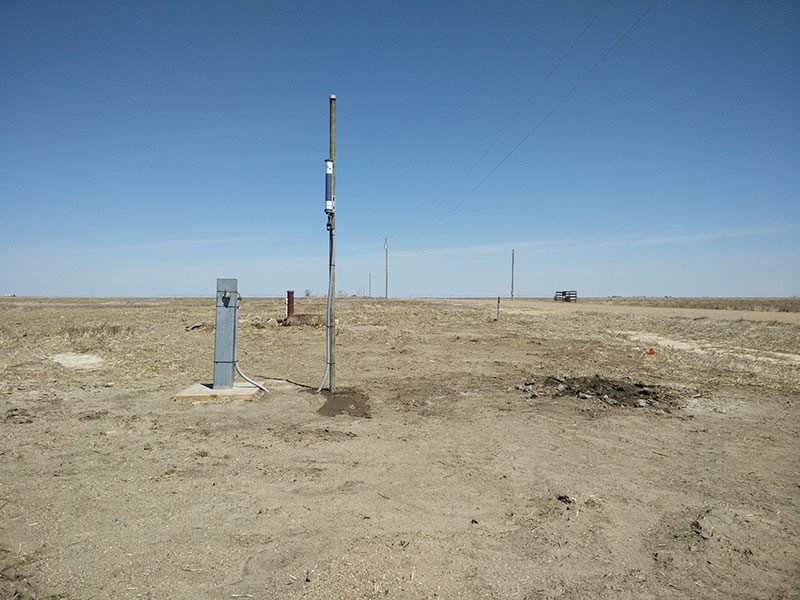
| SHERMAN COUNTY KGS INDEX/CALIBRATION WELL. NEED KEY. BE CAREFUL NOT TO PINCH CABLES, |
 |
