 |
 |
 |
 |
WIZARD Water Well Listing |

|
|||
|
Detailed Well Page |
||||||||
|
|||||||||||||
| USGS ID: | 392431100384501 | KGS Local Well ID: | 07S 30W 27DDD 01 | |||
| County: | Sheridan | PLSS Description: | 7S 30W 27 SESESE | |||
| HUC 8 Code: | 10260011 | GMD: | Northwest Kansas GMD #4 | |||
| Longitude: | -100.645781 | Lat/Long Source: | GPS | |||
| Latitude: | 39.409001 | Lat/Long Accuracy: | 5 seconds | |||
| Surface Elevation (ft): | 2929 | Depth of Well (ft): | 266.25 | |||
| Geological Unit Codes: | TO | USGS Map Name: | Rexford | |||
| Use of Site: | Unused | Use of Water: | Unknown | |||
| WWC5 Links: |
507966 |
WIMAS Link: | None | |||
| Google Location Map |
||||||
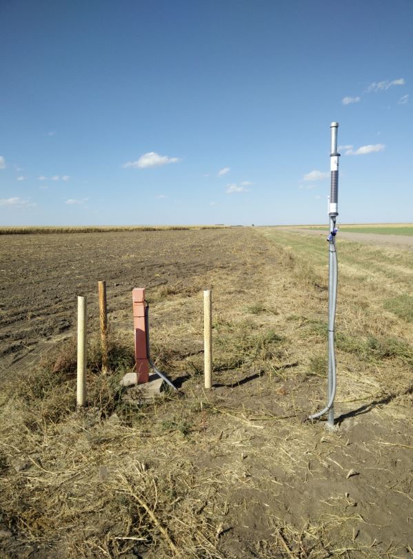
| SEEGMILLER INDEX/CALIBRATION WELL. NEED KEY. BE CAREFUL NOT TO PINCH CABLES. |
 |
